The tall limestone cliffs and turquoise water of the Bruce Peninsula provide a variety of recreational opportunities for residents and visitors alike. Credit: Scott Parker
Sharing information on Best Management Practices is an important part of collaboration between the individuals, communities, watershed groups and governmental agencies at work for Lake Huron. Credit: BPBA
Exposed limestone bluffs at Cave Point, Bruce Peninsula.
Rocky islands of eastern Georgian Bay. Photo credit: Ellen Perschbacher
Southern Ontario agriculture along Lake Huron’s southeast shore. Credit: Daniel Holm Photography
Sand beach and dune complexes are found along the southeastern shores, such as those pictured here near Pinery Provincial Park. Credit: Daniel Holm Photography
Lake Huron waters support a thriving agricultural sector, particularly in the southeastern portion of the watershed. Credit: Daniel Holm Photography
Volunteers engaged in stream restoration efforts in a Lake Huron tributary. Photo credit: MSIA
Rocky islands of eastern Georgian Bay. Photo credit: Ellen Perschbacher
The St. Marys River flows from Lake Superior to Lake Huron, contributing 8 billion liters/hour to the receiving basin in Lake Huron. Photo credit: Mark Chambers

Mindemoya River MIN 662-664

<< Back to project list

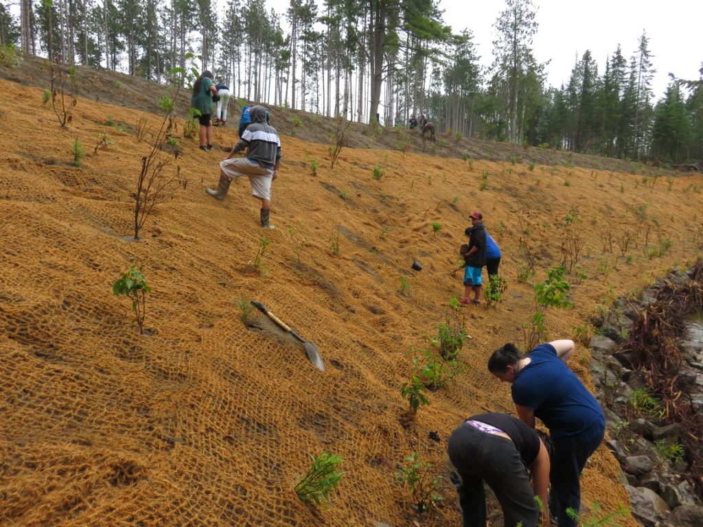
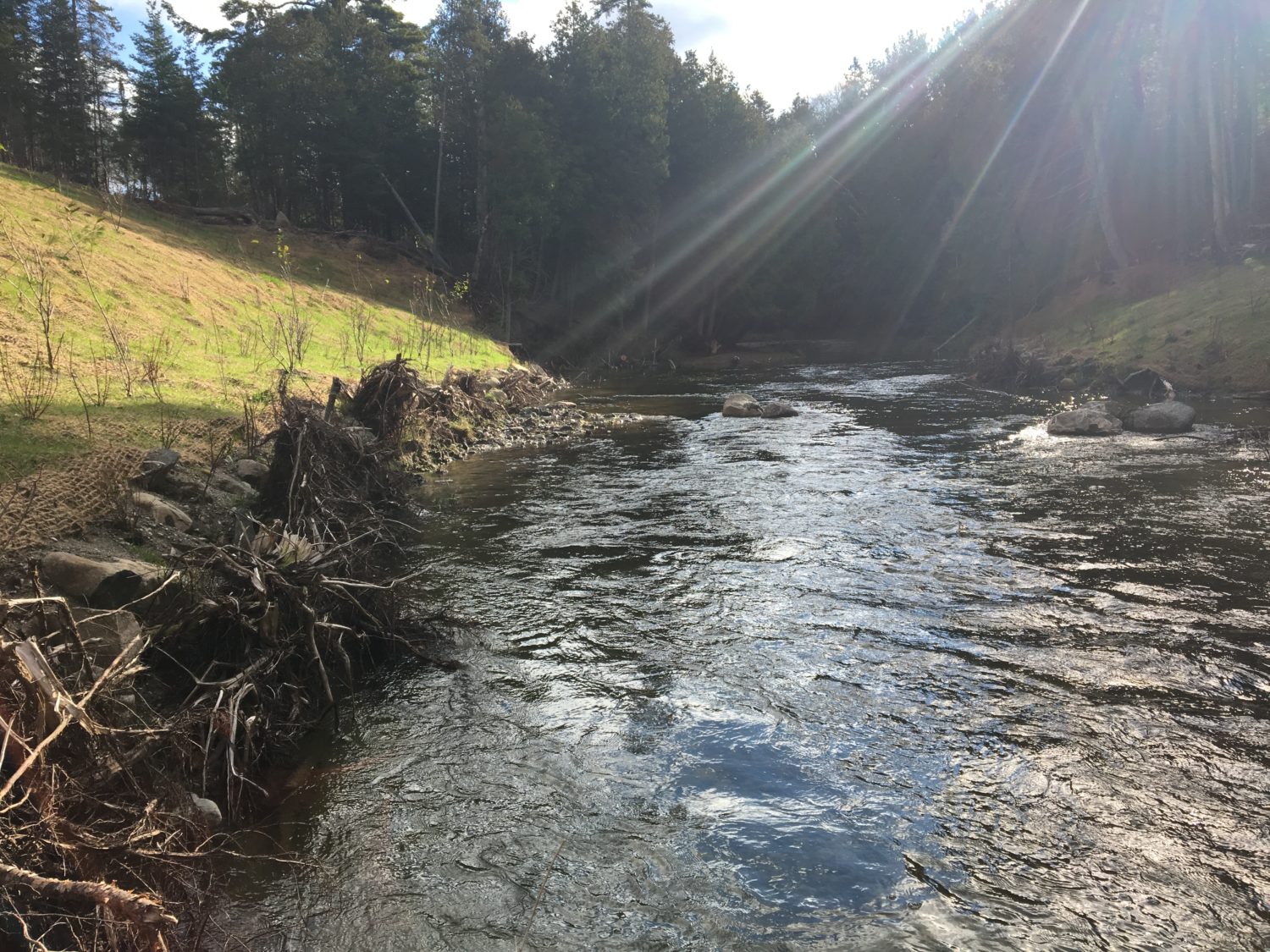
This year we worked again with landowner Jamie McDermid and managed to clear large log jams from the site prior to restoration. Jamie was kind enough to allow a school group to come help plant trees. We want to thank all volunteers that showed and Jamie for his volunteer time.

Completed:
-large log jam removal at 2 sites
-1205m2 of bank grading
-95cm of riverstone
-3 stone piles
-33 roots wads
-1125m2 of seed mix
-1025m2 of coir matting
-579 potted shrub plantings
-133 trees and shrubs planted

Nearest city or town: Providence Bay
Project start date: July 11, 2017

Project focus: Stewardship
Project contact: Seija Deschenes

Visit Project Website

Back to the Project List Share Your Project