The tall limestone cliffs and turquoise water of the Bruce Peninsula provide a variety of recreational opportunities for residents and visitors alike. Credit: Scott Parker
Sharing information on Best Management Practices is an important part of collaboration between the individuals, communities, watershed groups and governmental agencies at work for Lake Huron. Credit: BPBA
Exposed limestone bluffs at Cave Point, Bruce Peninsula.
Rocky islands of eastern Georgian Bay. Photo credit: Ellen Perschbacher
Southern Ontario agriculture along Lake Huron’s southeast shore. Credit: Daniel Holm Photography
Sand beach and dune complexes are found along the southeastern shores, such as those pictured here near Pinery Provincial Park. Credit: Daniel Holm Photography
Lake Huron waters support a thriving agricultural sector, particularly in the southeastern portion of the watershed. Credit: Daniel Holm Photography
Volunteers engaged in stream restoration efforts in a Lake Huron tributary. Photo credit: MSIA
Rocky islands of eastern Georgian Bay. Photo credit: Ellen Perschbacher
The St. Marys River flows from Lake Superior to Lake Huron, contributing 8 billion liters/hour to the receiving basin in Lake Huron. Photo credit: Mark Chambers

EGBSC Shebeshekong River Restoration

<< Back to project list

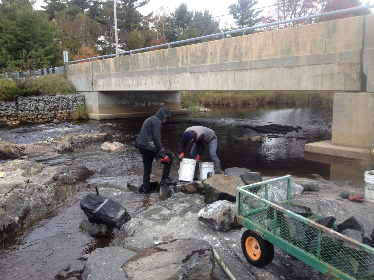
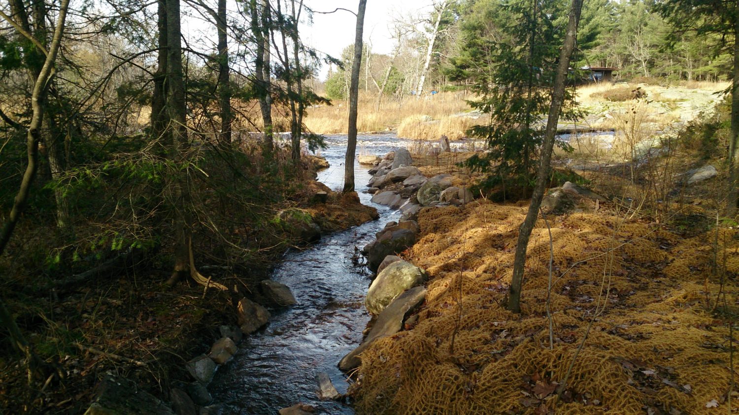
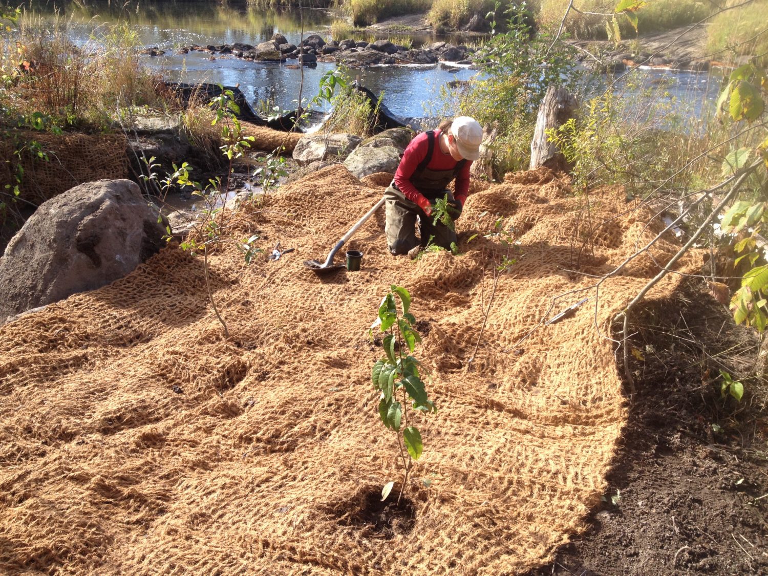
The Eastern Georgian Bay Stewardship Council recently completed a restoration project on the Shebeshekong River as part of a larger, three year Fish Habitat Assessment project funded by ECCC's Environmental Damages Fund. The project involved assessing habitat (e.g., spawning, nursery, foraging) for several fish species – Walleye, Lake Sturgeon, and Sucker species – on eight tributaries to eastern Georgian Bay. Based on EGBSC’s assessment, Dillon Rapids and Young's Rapids on Shebeshekong River were recommended for restoration. Work at Dillon and Young's Rapids was intended to enhance fish passage and give Walleye better access to high quality spawning habitat located further upstream in order to help rehabilitate the Walleye spawning stock at Shebeshekong River. The whole process has involved many partners and stakeholders including project partners and funders, Biotactic Inc., adjacent landowners, consultation with First Nations, and others. Monitoring will begin in spring 2018.

Nearest city or town: Carling
Project start date: October 2, 2017
End date: October 16, 2017

Project focus: Stewardship
Project contact: Julia Sutton

Visit Project Website

Back to the Project List Share Your Project